1 / 20
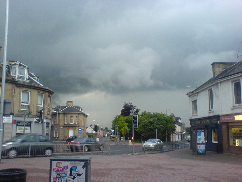
A Thunderstorm brewing rapidly on August 10th, 2008. As seen from the Commercial bar (looking south)
2 / 20
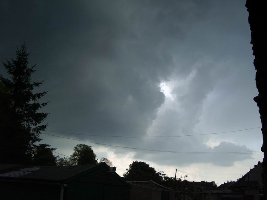
A multicluster of Thunderstorms approaching from the East on the afternoon of May 10th, 2004. This produced incredible lightning rates.
3 / 20
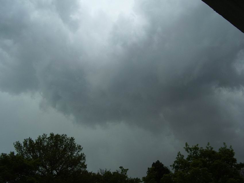
Another view of the multicluster thunderstorms that broke out over much of Scotland on May 10th, 2004.
4 / 20
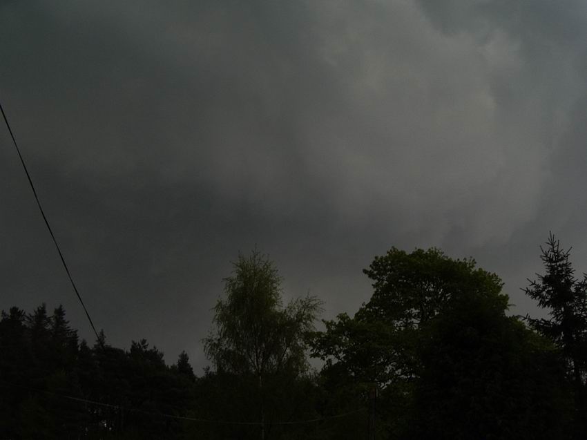
And a final look at the ominous clouds (taken 10 minutes after the previous two) from the multicell feature on May 10th, 2004.
5 / 20
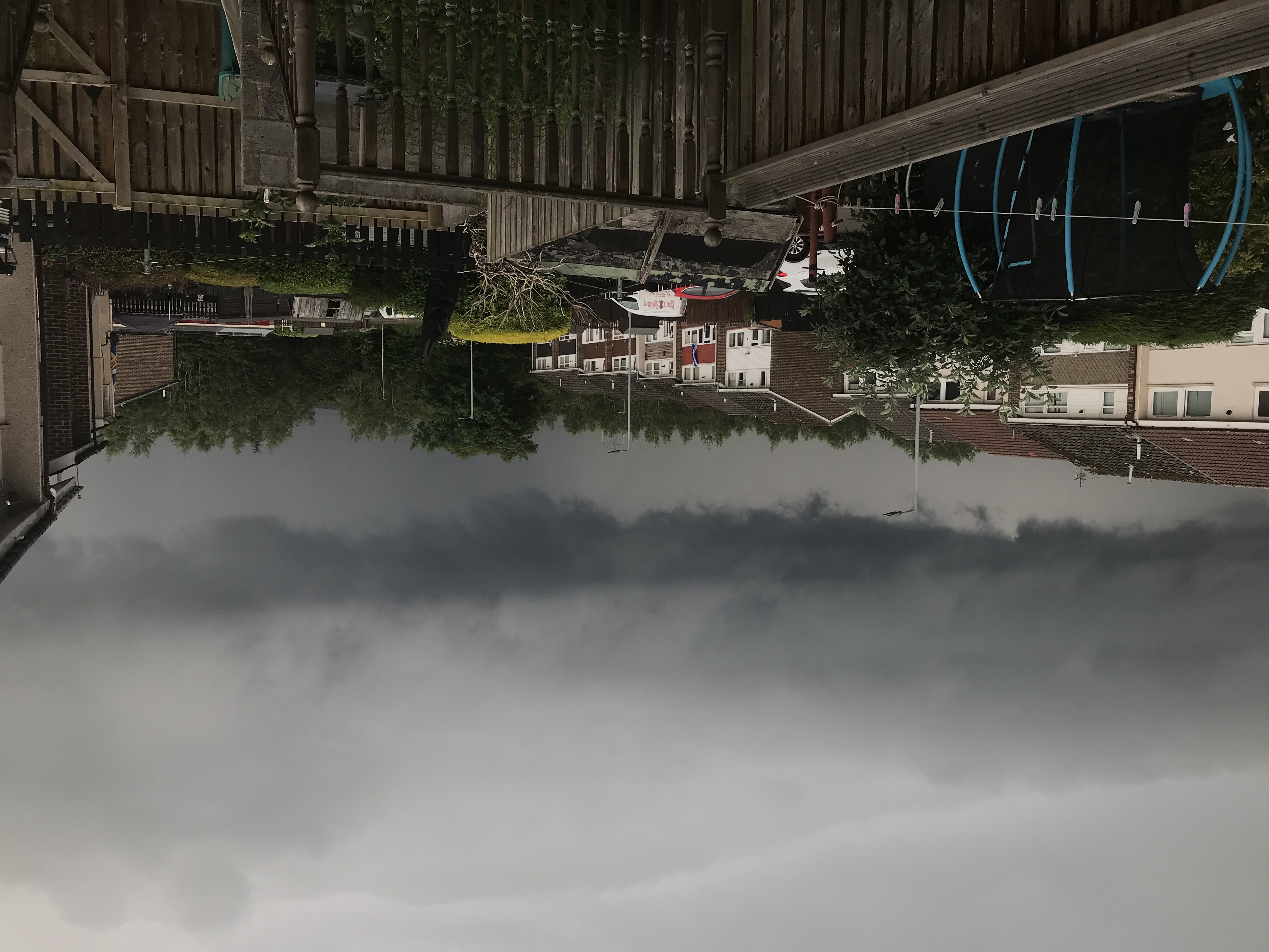
A fascinating wall cloud and developing cumulonimbus approaching Wishaw from the South East around 6.40pm on July 2nd, 2021
6 / 20
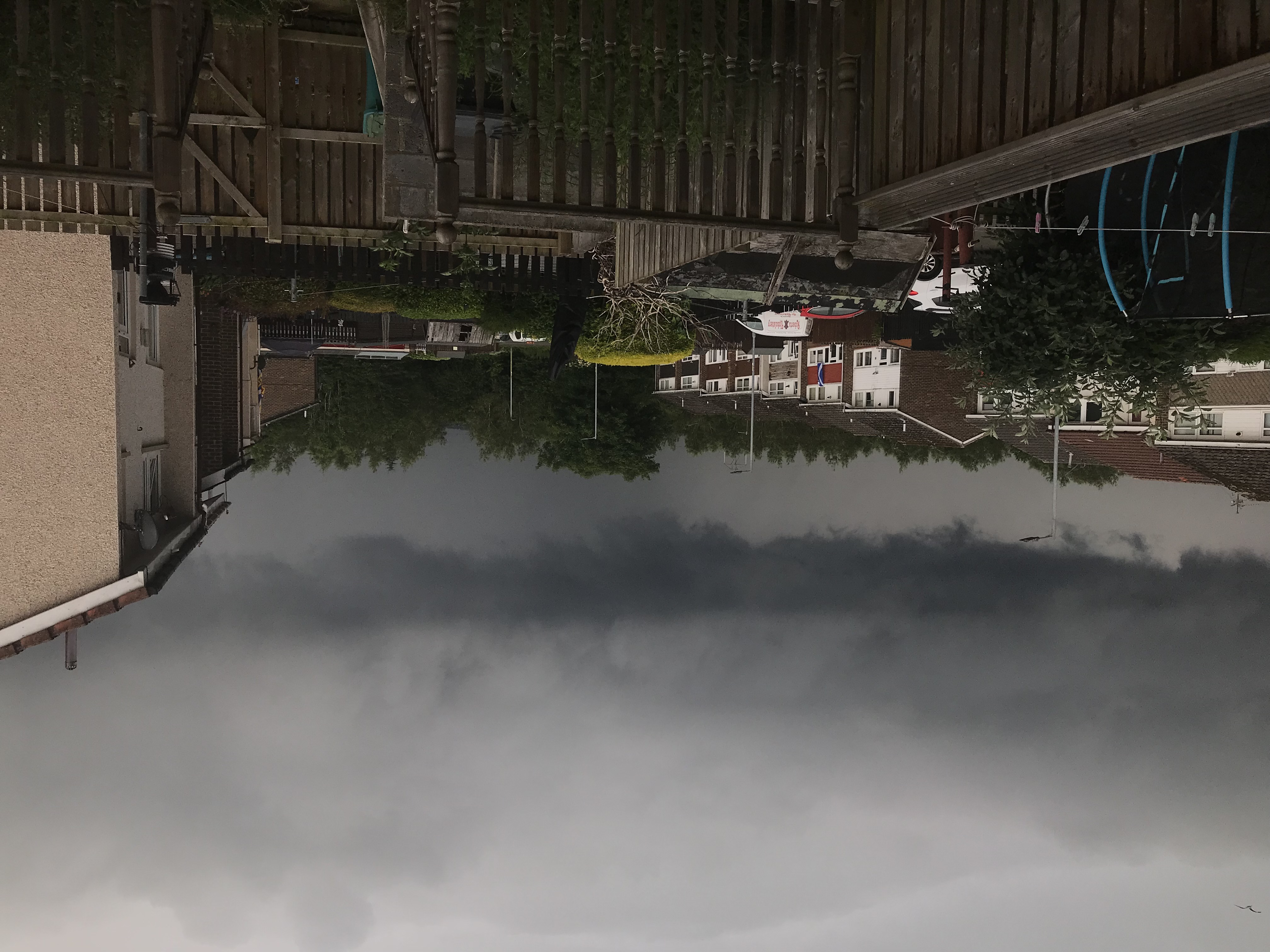
Another view of the wall cloud / cumulonimbus on the evening of on July 2nd, 2021.
7 / 20
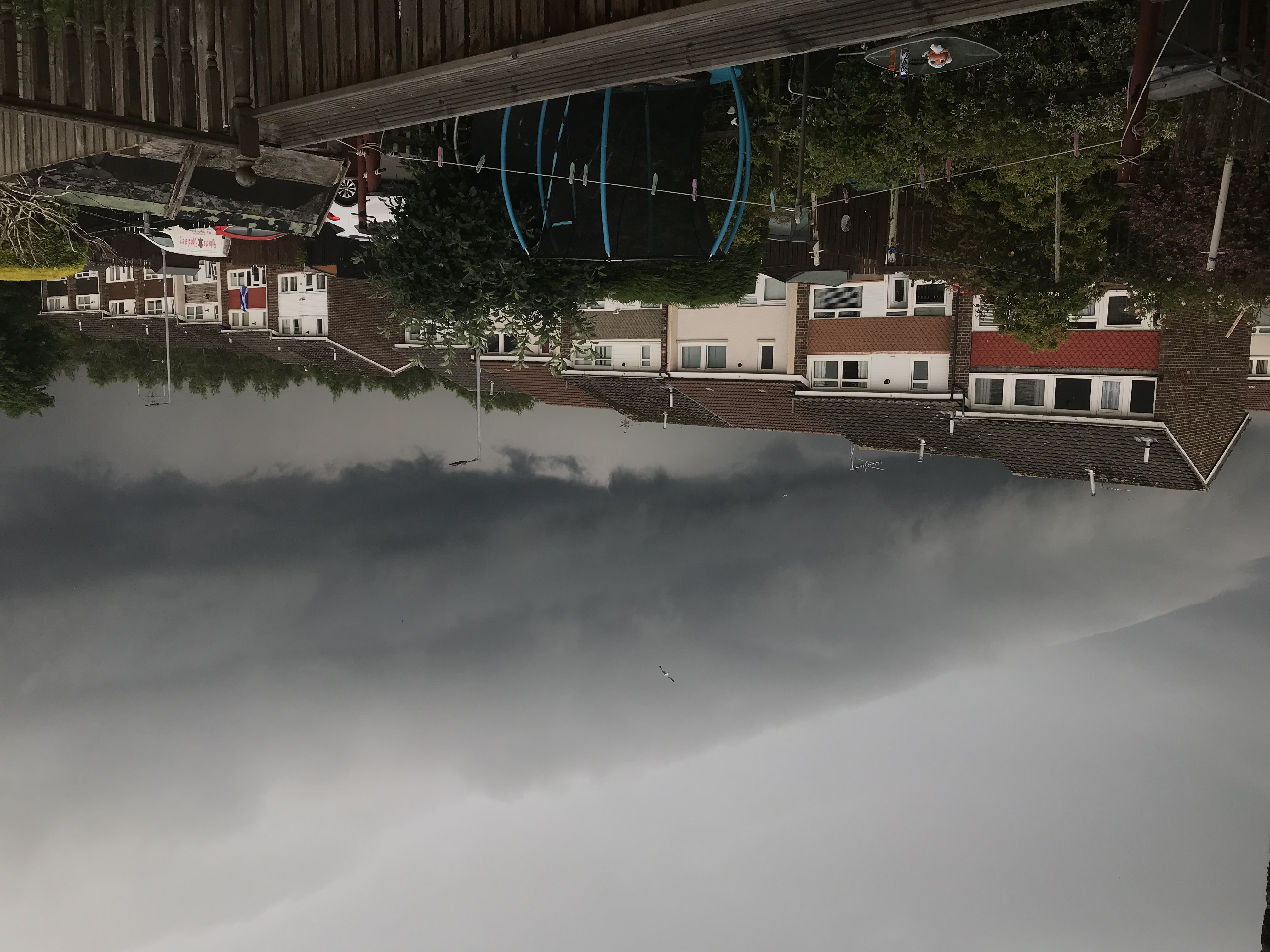
A final view of the spectacular wall cloud from the evening of on July 2nd, 2021.
8 / 20
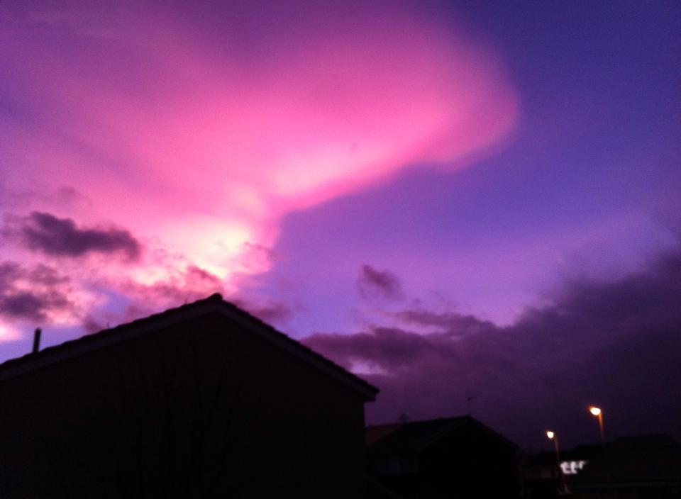
A very rare nacreous cloud above Wishaw aka mother of pearl cloud on Feb 1st, 2016 . Stunning sight long after sunset, these clouds are so high they still catch sunlight over the curve of the earth.